
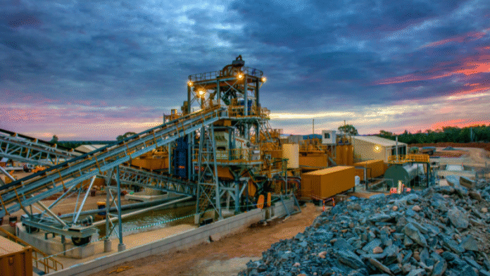
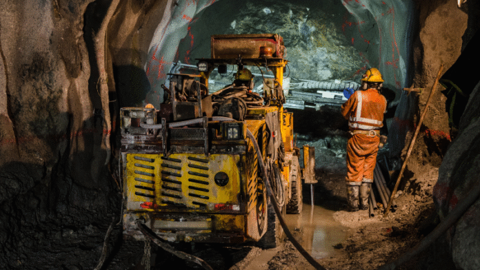
🔭 Discover Hidden Mineral Wealth with Precision
At Bluore, our satellite-based land survey and mineral prediction technology uses advanced imaging and data analysis to identify optimal mining zones while protecting ecologically sensitive areas. We combine geospatial expertise with AI-driven models to deliver accurate mineral presence maps, minimizing exploration costs and environmental impact.
✅ Key Benefits:
- Pinpoint accuracy in mineral prediction
- Reduced operational and exploration risks
- Data-driven sustainable mining decisions
🌱 Empowering smarter, greener mining across the globe.

